Billions at stake as flood risk rises
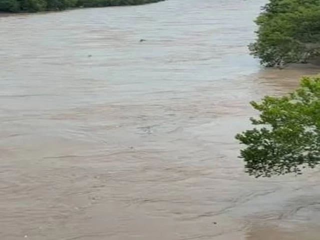
“Fifteen years after the catastrophic Tori Bund breach devastated large parts of Sindh, the southern part of Pakistan appears destined to repeat the same disaster, just in a new decade. Satellite image…”
Satellite imagery and ground observations show that dangerous riverine encroachments remain virtually unchanged. Today, Pakistan has more than six times its 1947 population of 40 million, now standing at 250 million. The only thing the country has managed to grow consistently is its population.
Every development initiative launched by the government, largely backed by multilateral lenders like the World Bank, has been quickly swallowed by this rapid demographic growth. Pakistan (SBP), the country faces a housing shortfall of 10 million units, with a net deficit that grows by 350,000 every year.
While the central bank is working to make housing finance more accessible, financing alone cannot solve the crisis. Urban sprawl is encroaching on the natural flow of the Indus River. The river tolerates this encroachment for now, but as it demonstrated during the devastating 2010 floods, it will eventually reclaim its floodplain.
"Stay connected with Aman-e-Pakistan for ongoing live reporting and verified investigative updates."
When that happens, ordinary citizens – trapped by religious dogma, the Sindh government's institutional corruption, the feudal lords' nexus with crony capitalists, and the administrative incompetence of local authorities – will once again pay the ultimate price with their lives, homes and livelihoods.
SUPARCO's multi-temporal satellite analysis of the Indus River supplies visual confirmation that the underlying pressures have not eased. Landsat images from 1990 and 2025 covering representative reaches of the river along Larkana city illustrate significant lateral channel migration over approximately 35 years.
The satellite imagery shows that the active channel has shifted laterally by nearly 4.5 kilometres just east of Larkana city near the Moria loop bund area, Google Maps, as SUPARCO does not issue the exact location.
The current position of the river now poses a direct threat to a critical section of the flood protection dyke, significantly increasing the risk of breaching during high-flow or extreme flood events.
In 2010, the Supreme Court of Pakistan formed a Flood Commission whose proceedings established that urbanisation and its expansion along river beds had caused serious deviation of flood flows and extensive damage across several districts. At the Tori Bund site specifically, a number of new settlements and fish ponds had been established inside the Loop Bund.
These developments contributed directly to the notorious breach. The resulting flood evacuation and inundation affected almost half of Sindh. "The irony is that after that breach, it was flood evacuation and devastation of almost half of Sindh," said water resources expert Zulfiqar Ali Halepoto.
"The fish ponds were still there, and influentials got full harvest. "Influential interests continued to harvest from them. The same pattern repeated in the 2011 rain floods that hit south-eastern parts of the province, where natural waterways had been heavily encroached, diverting flood flows and amplifying damage.
Halepoto notes that housing demand has always existed. Earlier governments responded through proper master planning. Those plans surveyed topography, derived contour levels, and delineated grids that identified river flow paths.
Residential areas were deliberately planned at higher elevations, away from flood water courses. That practice has largely been abandoned. Development is now left to the private sector on a shoot-on-will basis.
Encroachment on government lands is common, and such occupations are frequently legalised after the fact. Near east of Larkana city, around the Aqil and Moria loop bunds area, the observed course changes demonstrate increasing pressure on flood protection infrastructure caused by sustained lateral channel migration and bank erosion.
Approximately 2,000 hectares of land along the left bank have been eroded. This loss has reduced agricultural and floodplain areas and brought the active river channel dangerously close to the existing bund. Continued erosion at this location poses a serious risk of bund failure during high-flow events, which could result in large-scale inundation of adjacent settlements and agricultural lands.
On the opposite bank, sediment deposition has created around 1,600 hectares of new cultivable land. Such gains, however, are temporary and remain highly vulnerable to future channel shifts. Further downstream, imagery of Hyderabad, near Latifabad, from 2005 and 2025 reveals a high-stakes conflict between urban expansion and hydrological reality.
In the earlier image, the area within a defined polygon acted as a riparian buffer zone. Agricultural fields and open lands provided permeable surfaces capable of absorbing excess rainfall and tolerating occasional inundation without catastrophic economic loss.
They gave the river room to breathe during high-flow events. By 2025, this buffer had been largely paved over. Permanent housing and roads have replaced the natural floodplain.
When the river swells due to heavy monsoons or upstream glacial melt, water that would previously have spread harmlessly over fields now meets concrete obstacles. This floodplain occupation constricts the river channel, forcing water levels to rise higher and flow faster, increasing hydraulic pressure on the levees and the settlement itself.
In another critical reach, the comparison of 1990 and 2025 epochs of Larkana reveals a classic and dangerous example of channel migration. In 1990, the main channel of the Indus flowed with a significant meander to the west, maintaining a healthy safety buffer of several kilometres from the Flood Protection Bund.
By 2025, through sediment deposition on the inner banks and aggressive erosion on the outer banks, the river had straightened and shifted its thalweg eastward. The river is no longer merely flowing near the defence infrastructure; it is now actively eroding the foundation of the Flood Protection Bund.
The imminent threat is structural failure, not just overflow. Scouring and undercutting can collapse the embankment even without overtopping. A breach would produce a dam-break-like surge with minimal evacuation time.
The historical buffer zone has been eliminated, leaving no margin for error during high-flow events.
Continue Reading: More in National
Swipe or click arrows to explore National desk coverage